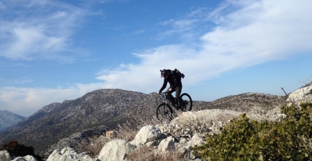

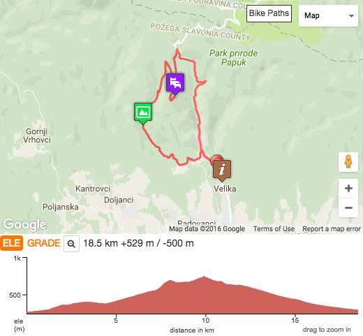
This trail is circular and is 18.5 kilometers long. The first half of the trail climbs from 276 meters to the highest point of 720 meters, followed by a descent towards Velika. Most of the trail is on dirt or forest roads, and a small part (only 2.5 km) is on asphalt road.
The trail begins in Velika, near the Church. St. Augustina. You will start on the asphalt road to Jankovac and after 1 kilometer, turn left onto the gravel road. You will ride on the gravel road for about 6 kilometers to the forest - half way there on the right side you will see rock Sokolina which is good for climbing.
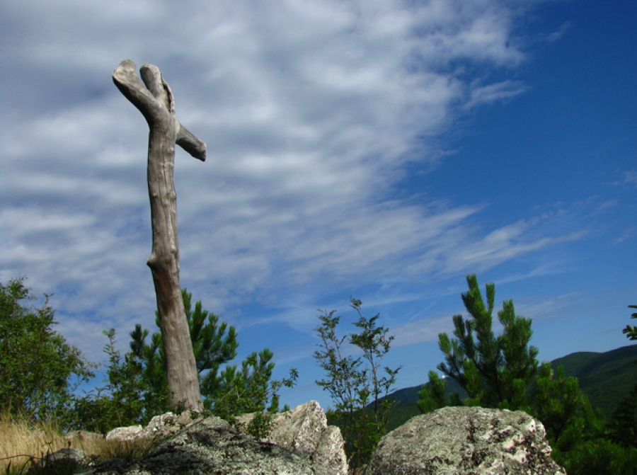
In the forest turn right (north-northwest) on the forest path. There will be a vertical rise with a length of about 800 meters, and from an altitude of 560 meters to 690 meters, which is located on the ridge Mališčak. When you get to the ridge, you will descend to the south about 1 kilometer and then turn left (if you continue along the ridge for more than half a kilometer, you will come to the mountain shelters of Mališćak which offers a beautiful view of the ridge of Papuk) and embark on the steep ridge for a length of about 150 meters down the road Simic
Turn left again to the north and ride for about 1.2 kilometers to the merger with the road Velika-Jankovac. Continue to descend down the road towards Velika. Before entering Velika, you will pass by the quarry where you will once again come to the asphalt road that leads back to the church.
-
Length of the trail: 18.5 km
-
Start: Velika, St. Augustina
-
Goal: Velika, St. Augustina
-
The lowest point on the track: 276 m
-
The highest point on the trail: 720 m
-
Total ascent: 532 m
- Type of surface: forest trail / gravel / asphalt
You can find more info on the route here.