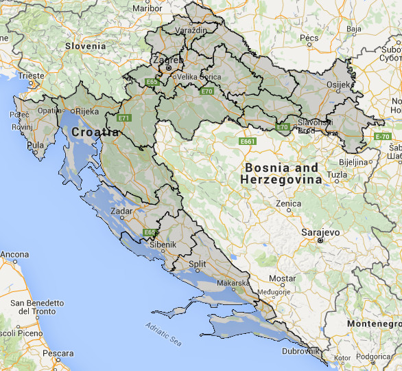

Category: Downhill
Length (km): 17
Ascent (m): 914
Route direction: Omiš - Borak - Sklonište Imber - Podašpilje - Radmanove mlinice - Omiš
Route description:
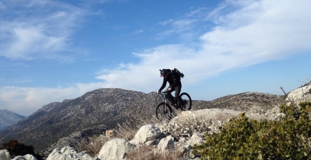
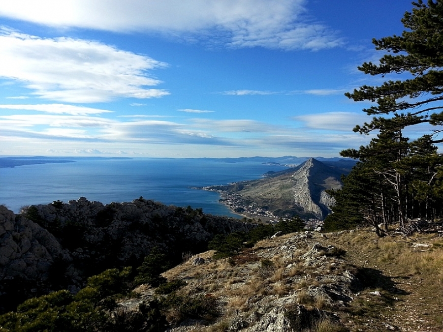
The Omiš Dinara is a rather small mountain 16 kilometres long, form Omiš to Dubci, west to east, less than a kilometre wide, from Borak to Podašpilje with the highest peak at Kula (864m). A small mountain that offers true pleasure to nature lovers, mountain climbers and adventurers. The small area offers wonderful views of the middle Dalmatian islands, Biokovo and Mosor mountains. The start of the route is in the centre of Omiš via a steep road to the highest asphalted point in Borak. From here on is a mountain marked path towards the shelter at Imber at 650m. Be prepared to push and carry your bike. The path is well marked and cleared so expect no significant issues. There is water at the shelter year-round so no need to carry too much with you. From the shelter onward those in good condition can begin to ride, while others will need to push some minutes longer to the overpass with a wonderful view of the northern side. The terrain is rocky and in places dangerous as the rocks are sharp and the path on the edge of an abyss. Once past it you will arrive to Svinišće village. The road will take you to further down, but after the first 20-30 metres you will need to locate the continuation of the much more mellow descent, but still only for advanced riders. The terrain here has much more soil, but be careful of steep sections, roots and rocks. Only at the final 300-400m you can relax on a quick dirt section. Return to Omiš is 6 kilometres long on the road to Radmanove Mlinice.
For the original and more from Dinarides Trails, click here.